Precise location-based insights
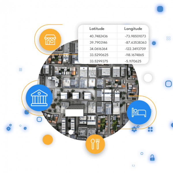
Geocodes enable you to see the bigger picture by converting physical addresses into coordinates.
Our customers have used building level geocodes for a wide variety of strategic insights such as:
- Insurance risk calculation
- Delivery window planning
- Grant eligibility
- Sales and service territory assignment
- Census based customer analysis

Geocodes
					"location": {
"latitude": 40.863013,
"longitude": -73.922423,
"crs": "EPSG:4326",
"accuracy": "BUILDING"
}
The term “CRS” stands for Coordinate Reference System. In our location data, we consistently provide a latitude and a longitude coordinate. Here, “EPSG:4326” is the designation for latitude and longitude in the WGS84 system — a standard recognized worldwide by navigation systems, Google Maps, and similar platforms.
The accuracy parameter indicates the accuracy of the returned coordinate, with the majority of our location information available at BUILDING (rooftop) level.
Accuracy | Description |
|---|---|
BUILDING | Rooftop accuracy |
STREET | We are awaiting a building coordinate for an address, but we have coordinates for other addresses on that street. |
POSTCODE | UK and Netherlands postcodes are small enough to provide accurate location information if building level coordinates are not available. |
LOCALITY | For bigger postcodes (e.g. Zip codes), City level accuracy, etc. |
Global coverage
We source accurate building level geocodes for over 100 countries
Frequently Asked Questions
Yes! Thanks to our free trial, you will be allocated a small number of lookups to begin testing. If you need to do more testing, you can purchase a low value plan directly from your account center. Alternatively, please contact us to speak to one of our experts.